
Revolutionizing Industrial and Infrastructure Monitoring
Introduction
In an era of rapid technological advancements, industries and governments require real-time, large-scale monitoring solutions for infrastructure, environmental management, and industrial operations. Remote Sensing (RS) has emerged as a critical tool, leveraging satellites, drones, and advanced sensors to collect, analyze, and interpret data from a distance.
From predictive maintenance in factories to disaster response and smart city planning, Remote Sensing provides unparalleled accuracy, efficiency, and automation. In this article, we will explore the key technologies behind Remote Sensing, its applications across industries, benefits, and future trends.
What Is Remote Sensing and How Does It Work?
Remote Sensing is the process of collecting information about objects, areas, or environments without physical contact. It relies on various types of sensors to capture electromagnetic radiation, temperature variations, and other critical data points.
Types of Remote Sensing Technologies:
- Passive Remote Sensing – Measures naturally occurring energy (e.g., reflected sunlight, thermal radiation).
- Example: Satellite imagery capturing land cover changes.
- Active Remote Sensing – Emits energy (such as radar or LiDAR) and measures the reflected signal.
- Example: LiDAR scanning for topographical mapping.
Key Remote Sensing Platforms:
- Satellites – Provide large-scale, high-resolution data for environmental monitoring, disaster management, and urban planning.
- Drones (UAVs) – Deliver real-time, high-precision monitoring of infrastructure, industrial plants, and construction sites.
- Airborne Sensors – Used for geophysical exploration, military reconnaissance, and precision agriculture.
- Ground-Based Remote Sensors – Deployed in factories, oil rigs, and power plants for continuous asset monitoring.
Applications of Remote Sensing in Smart Monitoring
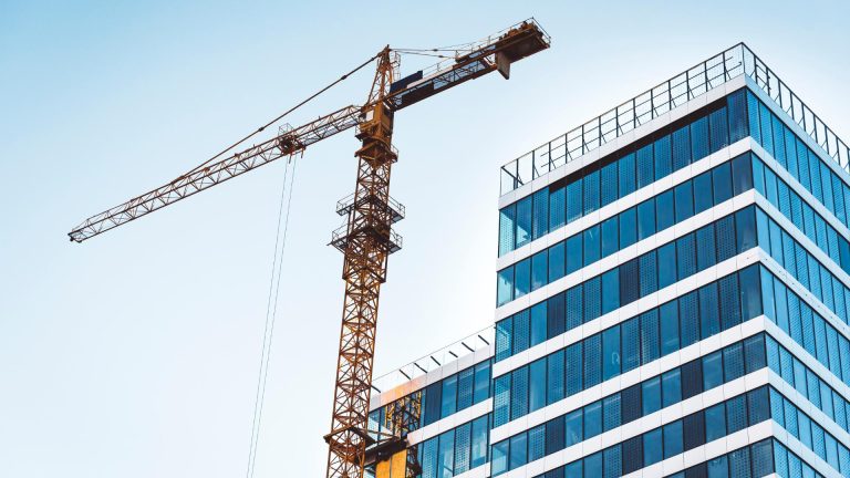
1. Infrastructure and Construction Monitoring
- Bridge and Roadway Assessments – Detect cracks, material degradation, and structural instability using LiDAR-equipped drones.
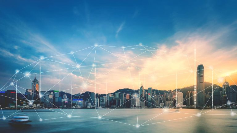
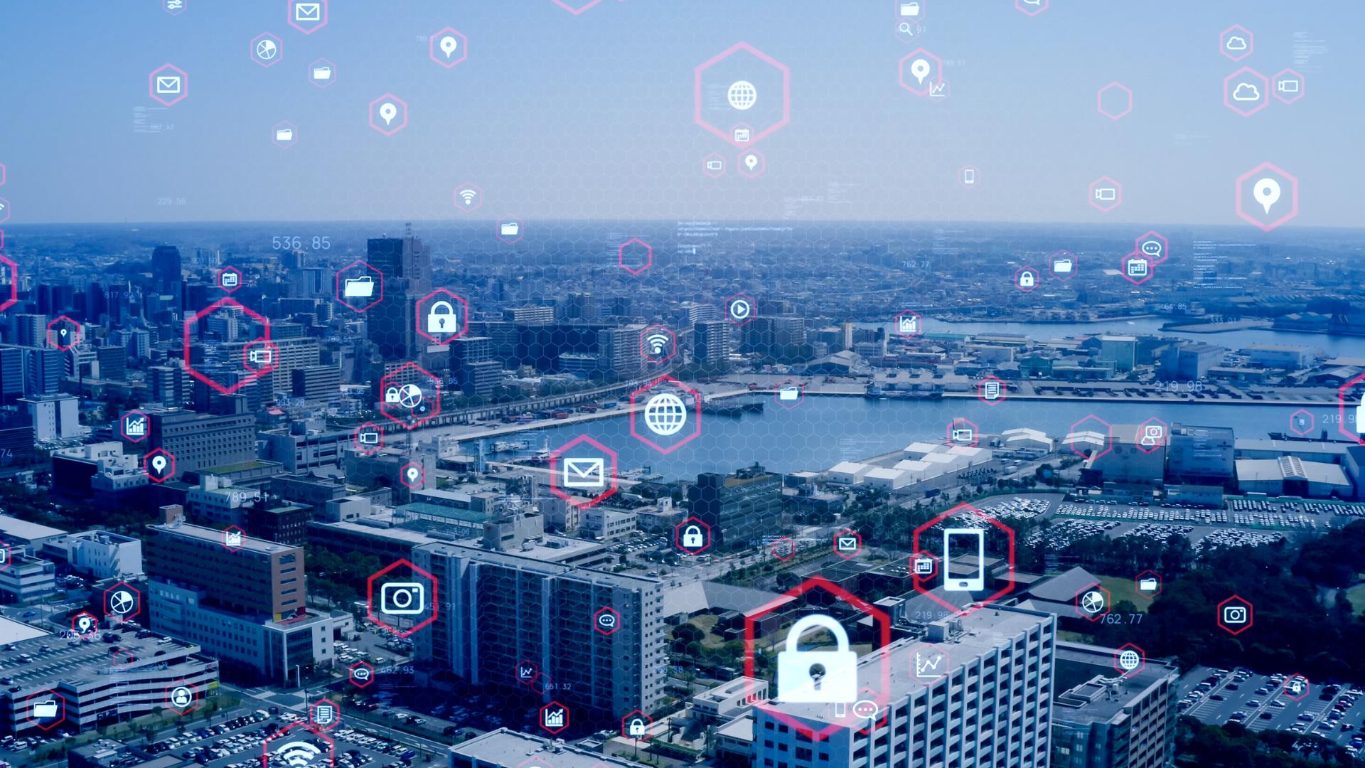
- Urban Development & Smart Cities – Satellite-based remote sensing assists in city expansion planning, traffic flow optimization, and pollution control.
- Pipeline and Utility Monitoring – Identify leaks and weak points in gas, oil, and water pipelines using infrared and hyperspectral imaging.
2. Environmental and Climate Monitoring
- Deforestation and Land Degradation Tracking – Satellite imagery monitors forest health, illegal logging, and land-use changes.
- Water Resource Management – Remote sensing maps drought conditions, groundwater levels, and flood risks.
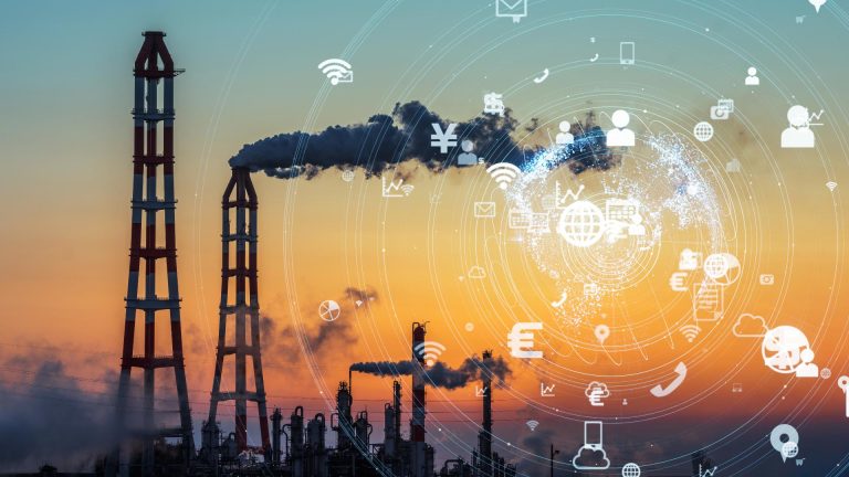
- Air Quality and Pollution Monitoring – Detects pollution hotspots, greenhouse gas emissions, and industrial contamination.
3. Industrial and Manufacturing Applications
- Predictive Maintenance in Factories – Thermal and hyperspectral sensors detect overheating, material fatigue, and equipment malfunctions.
- Mining and Resource Exploration – Remote sensing aids in mapping underground resources, monitoring excavation sites, and ensuring environmental compliance.
- Energy Sector Monitoring – Oil rigs, wind farms, and solar plants use real-time remote sensing for performance optimization and fault detection.
4. Agriculture and Precision Farming
- Crop Health Assessment – Multispectral imaging detects plant diseases, nutrient deficiencies, and water stress.
- Soil Moisture and Irrigation Monitoring – Farmers use drones and satellites to optimize irrigation efficiency and reduce water wastage.
- Yield Prediction and Pest Detection – AI-powered analytics assess crop productivity and early pest infestations, ensuring proactive intervention.
5. Disaster Response and Risk Management
- Earthquake and Landslide Detection – Remote sensors provide early warnings and post-disaster damage assessments.
- Hurricane and Flood Forecasting – Satellite-based radar systems track storm patterns and flood-prone regions in real-time.
- Wildfire Monitoring and Prevention – Thermal imaging identifies high-risk fire zones, helping emergency responders deploy resources effectively.
Benefits of Remote Sensing in Smart Monitoring
✅ Large-Scale, High-Resolution Data Collection – Enables nationwide and global monitoring with pinpoint accuracy.
✅ Real-Time and Continuous Monitoring – AI-enhanced remote sensing systems provide instant alerts on potential failures.
✅ Cost Savings & Risk Reduction – Reduces manual inspections, operational downtimes, and disaster recovery expenses.
✅ Non-Intrusive & Safe Data Collection – Essential for hazardous environments like nuclear plants, offshore rigs, and active volcanoes.
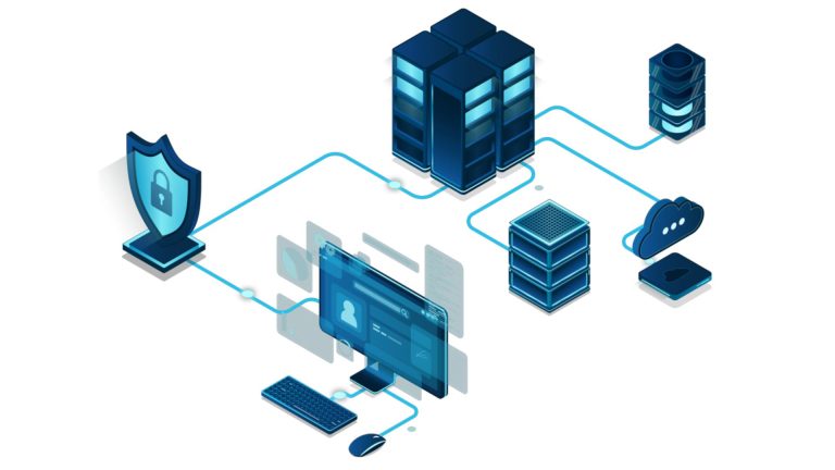
✅ Integration with AI & Big Data Analytics – AI-powered remote sensing enhances predictive analytics and automated decision-making.
Challenges and Future Trends in Remote Sensing
Despite its advantages, Remote Sensing adoption faces certain challenges:
🔹 Data Processing Complexity – Managing and analyzing large-scale satellite and drone imagery requires advanced computing resources.
🔹 Cloud Interference and Weather Limitations – Optical sensors depend on clear visibility conditions, requiring alternative solutions like radar imaging.
🔹 High Costs of Satellite Deployment – Advanced remote sensing satellites demand significant investment in hardware and data processing infrastructure.
Emerging Trends in Remote Sensing Technology:
🚀 AI-Powered Image Recognition – Machine learning models will automate anomaly detection, land classification, and environmental assessments.
🚀 Hyperspectral Imaging Advances – Enhancing precision in material identification for mining, agriculture, and pollution monitoring.
🚀 Swarm Satellite Constellations – Deploying multiple low-cost satellites to provide real-time, high-frequency Earth monitoring.
🚀 Blockchain for Remote Sensing Data Security – Ensuring tamper-proof environmental and industrial monitoring records.
Conclusion
Remote Sensing is revolutionizing industrial, environmental, and infrastructure monitoring, providing unmatched data collection, predictive analytics, and automated decision-making capabilities. With the integration of AI, drones, and real-time satellite imaging, organizations can optimize asset management, disaster preparedness, and sustainable resource planning.
Is Your Industry Ready for Remote Sensing?
From smart cities and industrial automation to climate resilience and precision agriculture, Remote Sensing is shaping the future of intelligent monitoring. Investing in these technologies today will ensure better safety, efficiency, and long-term sustainability.