
Transforming Smart Monitoring and Industrial Applications
Introduction
As industries move toward more advanced monitoring and automation, LiDAR (Light Detection and Ranging) technology is emerging as a game-changer. By using laser pulses to create high-resolution 3D maps, LiDAR enables accurate spatial measurements, environmental analysis, and predictive maintenance across various sectors.
From infrastructure monitoring and autonomous vehicles to smart cities and industrial automation, LiDAR is redefining how organizations collect, process, and utilize spatial data. In this article, we explore the principles of LiDAR, its applications, benefits, and the future of laser-based sensing technology.
What Is LiDAR and How Does It Work?
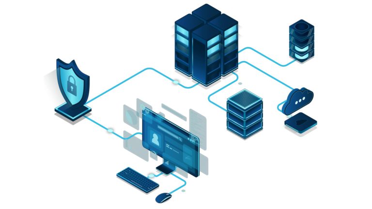
LiDAR is a remote sensing technology that uses laser beams to measure distances between the sensor and objects in its environment. The system consists of three main components:
- Laser Scanner – Emits rapid laser pulses (up to millions per second) that bounce off surfaces.
- GPS and IMU (Inertial Measurement Unit) – Tracks sensor movement to ensure precise mapping.
- Computer System – Processes the laser reflections to create detailed 3D point clouds.
These point clouds can be used to generate highly accurate digital elevation models (DEMs), 3D maps, and real-time monitoring visualizations. Unlike traditional photogrammetry, LiDAR works in low-light conditions and penetrates through vegetation, making it highly effective in challenging environments.
Key Applications of LiDAR in Smart Monitoring and Industry
1. Infrastructure and Construction Monitoring
- Structural Health Assessment – LiDAR detects deformations in bridges, tunnels, and high-rise buildings, ensuring early warning of potential failures.
- Terrain Mapping for Construction Sites – Engineers use LiDAR to create accurate topographical models, optimizing site planning and reducing costly surveying errors.
- Smart Cities and Urban Planning – City planners utilize LiDAR for traffic analysis, road maintenance, and 3D city modeling.
2. Autonomous Vehicles and Transportation
- Self-Driving Cars and Drones – LiDAR enables precise object detection, obstacle avoidance, and real-time navigation in autonomous systems.
- Railway and Roadway Inspection – LiDAR-equipped drones monitor rail tracks, tunnels, and highways to detect cracks, misalignments, and vegetation encroachment.
- Airport Safety & Runway Monitoring – Airports use LiDAR to ensure runways remain clear of obstacles and properly maintained.
3. Industrial Automation and Smart Manufacturing
- Factory Robotics & Logistics – LiDAR-powered robots navigate warehouses, improving supply chain efficiency and reducing human intervention.
- Predictive Maintenance in Heavy Industry – Mining, oil, and gas companies use LiDAR to monitor equipment wear, detect pipeline leaks, and optimize machinery usage.
- Warehouse Inventory Management – LiDAR enhances real-time stock tracking and automated inventory control systems.
4. Environmental Monitoring and Disaster Management
- Forest Management & Deforestation Control – LiDAR penetrates forest canopies to assess tree density, biodiversity, and wildfire risks.
- Flood and Landslide Prediction – High-resolution terrain models generated by LiDAR help predict floods, monitor soil erosion, and assess natural disaster risks.
- Coastal and Marine Surveys – Airborne LiDAR is used to map underwater features, monitor coral reefs, and track coastal erosion.
5. Security and Defense
- Surveillance and Perimeter Security – LiDAR-based monitoring systems detect unauthorized movements in high-security areas.
- Military Targeting and Reconnaissance – The defense sector uses LiDAR for battlefield mapping and precision-guided missile systems.
- Anti-Drone Defense Systems – LiDAR enables real-time tracking of unauthorized drones near sensitive locations.
Benefits of LiDAR Technology
✅ High-Precision Mapping – Provides accuracy within centimeters, making it ideal for infrastructure monitoring and urban planning.
✅ All-Weather & Low-Light Capability – Unlike cameras, LiDAR operates efficiently in darkness, fog, and dense vegetation.
✅ Faster Data Acquisition – Surveys that once took weeks can now be completed in hours using airborne or mobile LiDAR.
✅ Automation & AI Integration – When combined with AI and machine learning, LiDAR enables real-time anomaly detection and predictive analytics.
✅ Safety and Risk Reduction – Reduces the need for manual inspections in hazardous environments, improving worker safety.
Challenges and Future Trends in LiDAR Technology
Despite its advantages, LiDAR adoption faces several challenges:
🔹 High Equipment Costs – Advanced LiDAR systems remain expensive, limiting their widespread deployment.
🔹 Data Processing Complexity – Generating and analyzing large-scale 3D point clouds requires significant computational resources.
🔹 Integration with Other Technologies – LiDAR must work alongside cameras, radar, and AI to provide full situational awareness in various applications.
Emerging Trends in LiDAR Technology:
🚀 Miniaturization & Cost Reduction – New solid-state LiDAR systems are making the technology more affordable and scalable.
🚀 LiDAR-on-a-Chip – Compact and energy-efficient LiDAR sensors will drive next-gen autonomous systems.
🚀 AI-Powered LiDAR Analytics – Machine learning models will enhance automated feature detection and predictive monitoring.
🚀 Integration with 5G Networks – Faster data transmission will enable real-time remote LiDAR monitoring for smart cities and industrial automation.
Conclusion
LiDAR technology is revolutionizing infrastructure monitoring, industrial automation, transportation, and environmental management. With its ability to generate real-time, high-precision 3D models, LiDAR enhances safety, optimizes maintenance, and supports the growing demand for automation.
As costs decrease and AI-driven analytics improve, LiDAR is set to become a fundamental component of smart monitoring systems worldwide. Organizations that adopt this technology early will gain a competitive edge in operational efficiency, predictive maintenance, and risk mitigation.
Are You Ready for the LiDAR Revolution?
The future of smart monitoring depends on precise, real-time data acquisition—and LiDAR is leading the way. Don’t wait to integrate this game-changing technology into your operations!